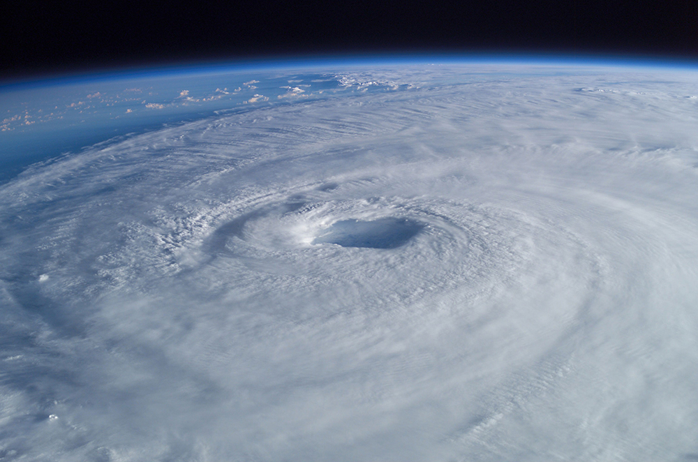
A new forecast says the 2017 hurricane season could be worse than normal — and the potential impact on Bia could be increasingly troublesome. Both the Weather Channel and the National Weather Service say the 2017 Atlantic hurricane season, which begins June 1 and ends Nov. 30, will be more active than usual, and the number of named storms and hurricanes should be higher than usual.
A forecast released May 25 by the National Oceanic Atmospheric Administration calls for:
- Eleven to 17 named storms – including April’s Tropical Storm Arlene.
- Five to 9 of which would become hurricanes.
- Two to 4 of which would become major hurricanes.
The 30-year historical average (1981-2010) for the Atlantic Basin is 12 named storms, six hurricanes and three major hurricanes. A major hurricane is one that is Category 3 or stronger on the Saffir-Simpson Hurricane Wind Scale.
The National Weather Service says Georgia should be increasingly worried about the potential impact of these storms.
The 2016 Georgia hurricane season was a relatively quiet one, with Hurricane Hermine swamping coastal counties in the first week of September. In early October, Hurricane Matthew dumped nearly a foot of rain on coastal Georgia communities. A state of emergency was declared so Savannah-area residents could evacuate inland.
To read the full 2017 Atlantic hurricane season prediction report, visit CSU online. To keep up with potential storm activity, bookmark the National Hurricane Center’s website. For local weather and severe weather alerts, visit the National Weather Service online.
Read more at Patch


